WHAT WE DO
 Greater Boston Drones offers a comprehensive range of drone-based services with highly experienced professionals, cutting-edge technology, and cost-effective solutions that provide exceptional value to a wide range of industries and applications. We offer a full range of drone services, including RTK 2D mapping, aerial photography, imaging, mapping, 3D imaging, thermal imaging, and UAV thermography. Our FAA licensed drone pilots have in-depth knowledge of how to operate within the FAA Part 107 guidelines. Moreover, we can obtain FAA clearances to operate in sensitive airspace, so controlled airspace does not become a project barrier for our clients.
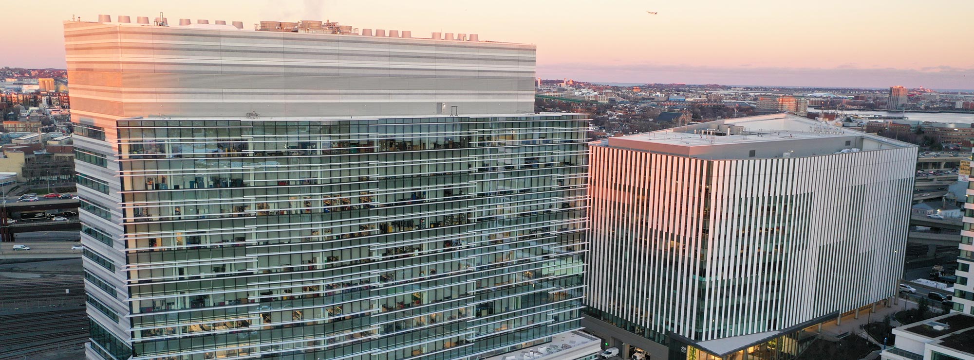
Our drone technology has opened up a new world of possibilities, benefiting industries such as real estate brokers, architects, engineers, developers, land surveyors, mechanical engineers, renewable energy, Gas & Oil, electrical engineers and solar field owners, among others. With our cost-effective and efficient drone services, we can access difficult-to-reach places, providing a bird’s eye view where previously not possible without utilizing manned aircraft.
UAVs (Unmanned Aerial Vehicles) provide a cost-effective way to access hard-to-reach areas, providing a bird’s eye view that was previously impossible without the use of manned aircraft. Real estate brokers, architects, engineers, developers, solar field owners, and many others can benefit from our drone services. Our high-resolution aerial-based camera technologies have opened up a whole new world of possibilities, making it possible to capture high-quality images from a range of sectors.

